
Google Street View in Mauritius
Google Street View in Mauritius: what's changing for your trip
Since July 19, 2026, four vehicles equipped with 360° cameras have been crisscrossing the roads of Mauritius. Their mission: to photograph the entire country for integration into Google Street View, the street-level view that millions of travelers now instinctively consult before booking anything.
Until now, searching for a street in Port Louis or a coastal path in immersive view yielded nothing: Mauritius appeared only as a map and satellite image, never at ground level. The current campaign aims to fill this gap. Here's exactly what it entails, how these images are created, what they will concretely change for planning a trip, and the limitations you should be aware of before placing too much trust in them.
Summary
What's happening on Mauritian roads right now
The photo shoot campaign takes place from july 19 To august 21, 2026. it Is Conducted by world travel In 360 (WTI 360 Ltd), With Logistical support from the mauritius tourism Promotion Authority (MTPA), Which Also facilitates the government authorizations necessary for the deployment of the project.
Four vehicles specially equipped with ultra-high-definition 360° cameras are crisscrossing the territory. The announced area is extensive: the public road network, major tourist attractions, historical monuments, and other sites deemed significant. Once processed, the images will be uploaded to Google Maps and Google Earth, where they will remain freely accessible from anywhere in the world.
This is a first for the country. Mauritius enjoys a solid international reputation as an island destination, but until now its streets, neighborhoods, and iconic landmarks only existed on Google Maps as maps, never as street-level images. For a destination whose visitors overwhelmingly plan their trips online, this absence was all the more noticeable given that the service, launched by Google in 2007, now covers more than a hundred countries.
Those who would like more information about the shooting schedule can contact the MTPA directly, by email at mtpa@intnet.mu or by phone at 203 1900.
A Mauritian project, not a Google tour
One point deserves clarification, as it is often misunderstood. This campaign is not a tour organized by Google. It is conducted by a private operator, WTI 360 Ltd, with institutional support from the MTPA. Google neither funds nor employs contractors to collect the images published on Street View: the platform hosts both images produced by Google and images provided by external contributors.
In practical terms, this changes nothing for the visitor viewing the images: they will appear in the same Street View interface, in the same place. However, this distinction does have implications for how the images are moderated and blurred, which we will discuss later.
How a street View Image is created
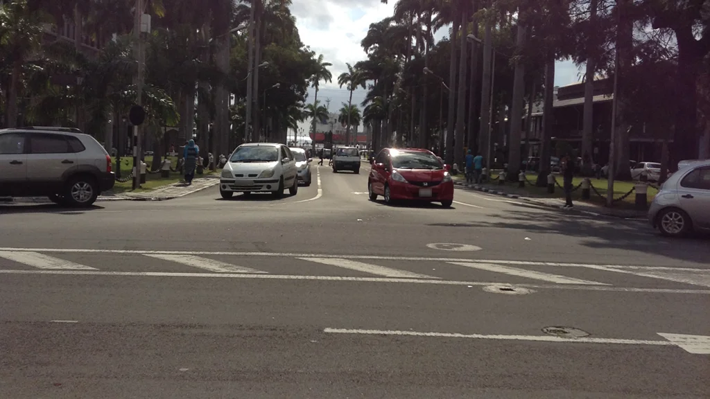
A 360° view is not a single photograph. The vehicle carries several cameras facing in different directions, positioned so that their fields of view slightly overlap. This overlap is deliberate: it avoids blind spots between two lenses.
The adjacent images are then assembled into a single panorama, and subsequently processed by algorithms designed to smooth out the seams and transitions from one section to another. This processing creates the impression of a continuous view when the image is rotated on the screen.
The question remains: where was each panorama taken? To determine this, the vehicles combine several signals: GPS position, speed, and direction. This data allows them to accurately reconstruct the route taken and, if necessary, correct or realign the images. Some vehicles also carry laser sensors that measure the distance to surrounding buildings and objects, enabling them to build a three-dimensional model of the area and display the most relevant panorama as the user navigates the interface.
Finally comes the least visible phase: quality control, detection of degraded or poorly positioned panoramas, automatic blurring, and then publication. Only approved images are put online.
How long before we see the images of Maurice?
This is a question no one can answer with certainty, and it's best to know this from the outset. Google doesn't publish a release schedule, and the delay between a vehicle passing by and the appearance of images can vary from a few weeks to several months depending on the area, the volume of images to process, and update priorities.
With filming scheduled to end on August 21, 2026, it would be prudent not to expect complete coverage of the island for several months. The first sections could appear gradually, rather than all at once.
What Google Maps shows of Mauritius today
Meanwhile, Mauritius is not invisible on Google Maps, far from it. Road maps exist, satellite views are available across the entire territory, and establishments — hotels, restaurants, shops, tourist sites — often have well-informed listings, with photos, opening hours and reviews.
It's also important to distinguish between two types of 360° images. Those collected by Google itself, and those published by external contributors: individuals who have shared a photosphere from a particular viewpoint, or certified professionals who have created a virtual tour of the interior of an establishment. These one-off contributions exist in Mauritius, but they don't form a continuous network: they cover isolated points, not routes that can be followed step by step.
This is precisely the difference that the current campaign would bring: moving from a few scattered viewpoints to continuous coverage of the road network, in which one moves from one point to another as if going up the road.
Prepare your stay differently
This is where the change will be most noticeable for a traveler in preparation, and it is worth going into detail.
View the actual surroundings of a property
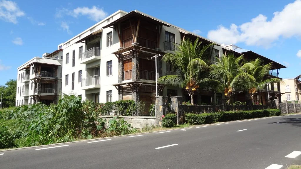
Hotel advertisements typically show the pool, the room, and the beach. They almost never show what's on the other side of the entrance: the road leading to it, the immediate surroundings, whether or not there's a sidewalk, or the actual distance between the reception area and the lagoon. A street-level view allows you to verify all of this without relying on the salesperson's staging. This is a useful point to consider in conjunction with our advice for choosing your accommodation in Mauritius.
Locate a beach access point
In Mauritius, not all public beaches have an obvious entrance. Some access points involve a narrow path between two properties, a gap in the vegetation, or a discreet gate, difficult to identify from a satellite view and even more so from a speeding car. Being able to visually identify the entrance before setting off makes a big difference. This topic is best understood with our guide on...access to beaches in Mauritius.
Judging a distance to be covered on foot
A map indicates that a site is 800 meters away. It doesn't say how to cover those 800 meters. Yet, along much of the Mauritian coastline, the road is bordered by a simple grassy verge, sometimes a low wall, without a continuous sidewalk. The difference between a pleasant walk and a journey one would prefer to make by car is visible in a picture, never on a map.
The width of the road and the parking options near a site are interpreted in the same way — useful information to know before booking a car rental in Mauritius.
Read the signs before you arrive
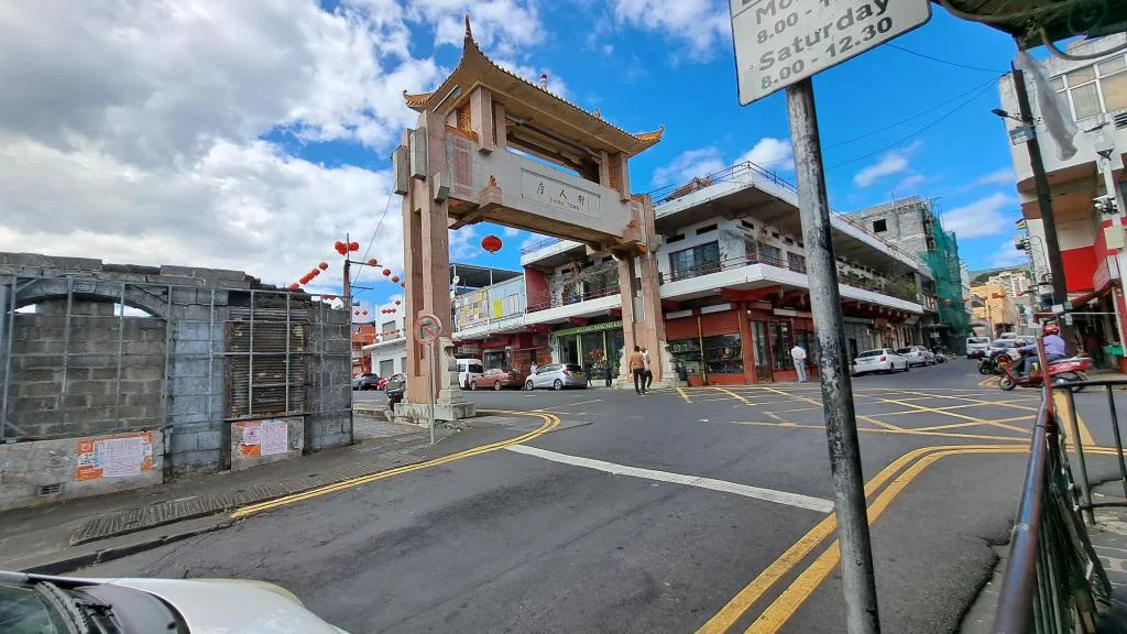
It's a practice one doesn't spontaneously think of, yet it's one of the most practical. Mauritian parking signs indicate the applicable zone, the maximum permitted duration, and the relevant time slots, from Monday to Friday and Saturday morning. This information is legible from street level, whereas nowadays it's only discovered once you're parked—that is, too late to change your mind.
The same principle applies to no entry signs, access restrictions and information signs at the entrance to a site.
Plan a route
For those planning to explore the island independently, identifying a tricky intersection, a site entrance, or a meeting point in advance will save many a U-turn. Our tourist circuits in Mauritius will benefit from being prepared in this way, and our trip preparation checklist will help you not to forget anything else.
Once there
The interest doesn't stop at the start. On site, the view at street level helps to recognize an entrance, a sign, a facade - all landmarks that make navigation safer when discovering an unfamiliar road network.
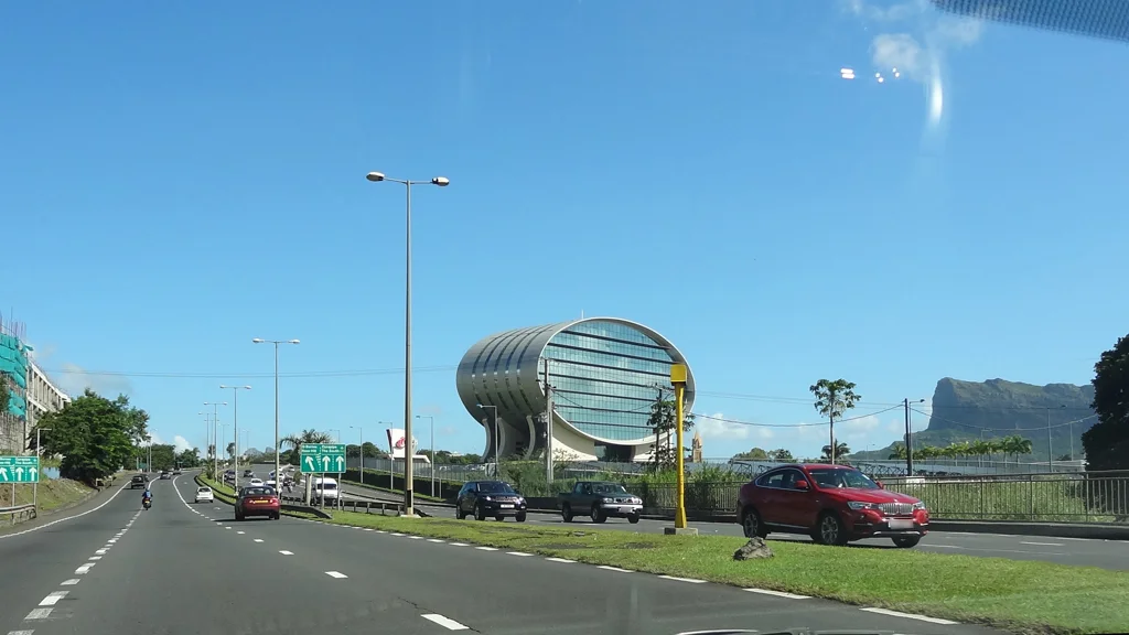
This is especially true in Mauritius, where they drive on the left. Seeing the layout of a roundabout or intersection in advance allows you to approach the maneuver with a clear idea of what to expect. Our guide on the driving on the left in Mauritius details the reflexes to acquire.
Two practical caveats, however. Street View requires a data connection: unlike pre-downloaded maps, the street-level view cannot be viewed offline. Therefore, having a local connection solution is useful, a topic covered in our [article/guide/etc.]. guide to sIM Cards for touristsAnd if you're not driving, the tool remains useful for precisely describing a pickup point to a driver, whether you're using a... taxi or by Uber.
Faces, license plates and privacy
The images are collected on public roads, and the people present when the vehicle passes are necessarily included. The protection system is based on two levels.
The first step is automatic. Before any publication, blurring technology is applied to identifiable faces and license plates, ensuring that neither individuals nor vehicles can be recognized. The press release regarding the Mauritian campaign indicates that images will be collected in accordance with these standards.
The second option is on request. If a face or license plate seems insufficiently blurred, or if you want your house, vehicle, or yourself completely blurred, the procedure is the same: open the image in question in Street View, click on "Report a problem" in the bottom right corner, and then fill out the form. Two important rules govern this option. Only the owner or tenant of a property can request that it be blurred. And the applied blurring is permanent: there is no way to reverse it once the request has been granted.
One important distinction should be noted. This applies to images provided by Google. For images published by external contributors, the responsibility for blurring generally lies with the contributor, who must process their images before uploading them. As the Mauritian campaign is being conducted by a private operator, the exact regulations applicable to the images produced are not publicly specified at this stage. In case of difficulty, the MTPA remains the first point of contact.
Limits to be aware of
A street-level view is a valuable tool, provided you don't ask it for what it cannot provide.
- This is an old image, not a live view. It shows the state of the premises on the day the photo was taken. A business may have closed, a construction site may be finished, or a road may have been resurfaced. The capture date is usually indicated in the interface: it's worth taking a look.
- The coverage is never total. Private roads, roads closed by a gate, or roads marked as private property are not mapped. newer roads May also be missing until the next mapped area.
- Updates are unpredictable. No public schedule exists, and smaller territories are generally revisited less frequently than large urban areas. The images from 2026 could remain the only ones available for several years.
- Nothing replaces being on the field. An image cannot convey the actual number of people visiting a place at different times of day, nor the state of the sea, nor the conditions of the day. It prepares for the visit, it does not replace it.
Frequently asked Questions
When will images of Mauritius be visible on Google Maps?
No date has been announced. Filming is scheduled to end on August 21, 2026, and the usual time between collection and release ranges from a few weeks to several months. A phased release, area by area, is more likely than a single online release.
Is Google filming Mauritius?
No. The campaign is being conducted By World travel In 360 (WTI 360 ltd), a private operator, with logistical support from The Mauritius Tourism Promotion Authority. the images are intended for publication on Google Maps and Google Earth.
Will the entire island be covered?
The announced perimeter includes the public road network, major tourist attractions, historical monuments, and other significant sites. Private roads and closed access points are excluded as a matter of principle.
Can my face or my vehicle appear?
Identifiable faces and license plates are automatically blurred before publication. If you find the result insufficient, you can request further blurring.
How do i request Blurring?
Open the relevant image in Street View, click on "Report a problem" in the bottom right corner of the image, then complete the form specifying the element to be blurred. Only the owner or tenant can request that a property be blurred, and the action is irreversible.
Is it possible to know where the vehicles are traveling?
Not street by street. No detailed itinerary is published. Questions regarding the filming schedule can be addressed to the MTPA at mtpa@intnet.mu or 203 1900.
Does Street View work without an internet connection?
No. Maps can be downloaded for offline use, but street-level view requires an active data connection.
Were there already 360° images of Mauritius?
Some of them, published occasionally by external contributors or by institutions that have commissioned a virtual tour. They cover isolated points and do not allow for continuous navigation of a route.
The information in this article is given for information purposes Only. the author and publisher assume no responsibility for the accuracy of The information mentioned. it is recommended to verify information directly with local operators or the relevant mauritian authorities during your stay. See the Terms of Use (Article 12).
Info +:
7 day Weather forecast
Rent a car
Book a hotel or villa
Buy an airplane ticket
Frequent questions - FAQ
All tourist sites and activities
Complete guide to SIM cards for tourists in Mauritius
Formalities and procedures for coming on vacation to Mauritius
All complete guides
Bus routes: Click here
Your advertising on this page?
Want to display an ad for your business on this particular page (or elsewhere on the site)?
Please contact us in click here.
Contribute, improve this page
We want to provide the most relevant and complete information to internet users, so if you want to add something or modify this page (text, Photo, etc.), Or even report an error, do not hesitate to contact us by sending us an email to the following Address: contribuer@ilemaurice.im
(remember to clearly indicate the page concerned by your contribution)
(the photos sent will only be used to complete this page and will never be used commercially outside of this site without your consent)